Development of interactive 3D map for Norwegian ports
Presentation and launch during the Offshore Wind Conference
Focus on sustainable technology and digital innovation
Location
Oslo
Photography
Norwegian Offshore Wind
About the project
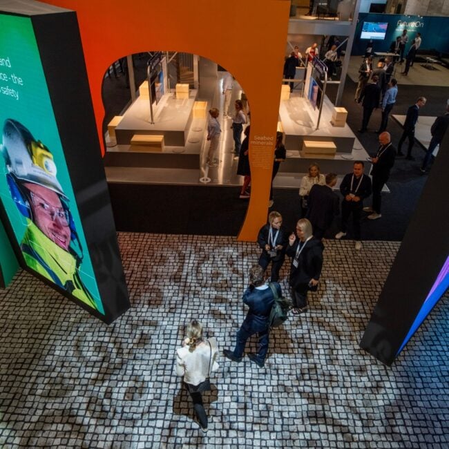
Norwegian Offshore Wind wanted an innovative solution to digitize the overview of Norway's ports ready for offshore wind expansion. The project aimed to promote the Norwegian offshore wind industry internationally by providing a user-friendly and interactive tool. Our team developed a scalable 3D map which can function as a gathering point for players in the industry. The solution should contribute to increased transparency, collaboration and international competitiveness.
Our role
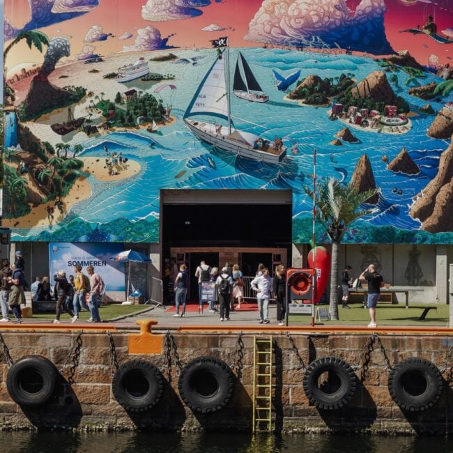
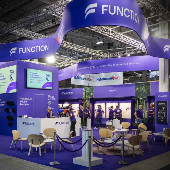
Through close collaboration with Norwegian Offshore Wind and leading industry players, we developed an interactive digital map using advanced 3D technology. The map visualizes ports and their capacities, providing a functional and intuitive tool designed to support decision-makers, authorities, and industry partners. The launch at the Offshore Wind Conference featured a live demonstration in front of 300 engaged participants, giving attendees the opportunity to explore the map firsthand in the lobby.
The Result
The interactive 3D map has established itself as a powerful tool for promoting Norway's offshore wind industry. It acts as a bridge between Norwegian ports and the international market, while strengthening sustainable development and innovation in the sector. Norwegian Offshore Wind now has a modern digital tool that strengthens their position as a leading player in the industry.
The reactions from the conference were overwhelmingly positive, and the project has set a new standard for how digital solutions can contribute to green transition.
Thank you very much for a brilliant collaboration! This will be a very important tool for our ports and everyone who is interested in it. Beautifully delivered!
We create tailored marketing solutions that build brands and engage target audiences. With our broad experience in marketing strategy, communications and digital marketing, we deliver solutions that drive measurable results.
Innovation Norway
Kari Anne Schwach, Project Manager
Top service and everything was delivered as agreed. I always feel confident about deliveries from NPG.
Espen Skoland
Partner & CEO – NPG Sport & Communication
Our people have worked with sports in both the sports industry itself, the media industry and the business world. Sports are our passion, and we are passionate about creating value and communication through what engages people.
Strai Kitchen
Cato Larsen, Sales Manager
Strai Kjøkken was looking for a partner who could guide us through BRD in the best possible way and add that extra touch. That’s why it was reassuring to work with an experienced partner like NPG – a team that took initiative, provided valuable advice along the way, and, most importantly, ensured that every last detail was in place before the exhibition hall opened.
Sea to sea
Olav Hove, Senior Advisor, Communications and Public Relations
We are very satisfied with the cooperation with NPG in connection with our ONS stand. They are creative, positive and flexible. Highly impressed!
Mer Group
Monique Berntsen, Head of Brand and Communication
NPG was incredibly service-minded, excellent at following up, and above all, a reliable and experienced partner for our event! Thank you for everything you have contributed in terms of both knowledge and experience during these three days. To say that we are satisfied would be an understatement – because this has been top notch service all the way.